Английский Экология
12.08.2026 Читать источник
В Бёрлингтоне обнаружили процветающий лесоводный лес на острове Деруэй, возникший за 90 лет
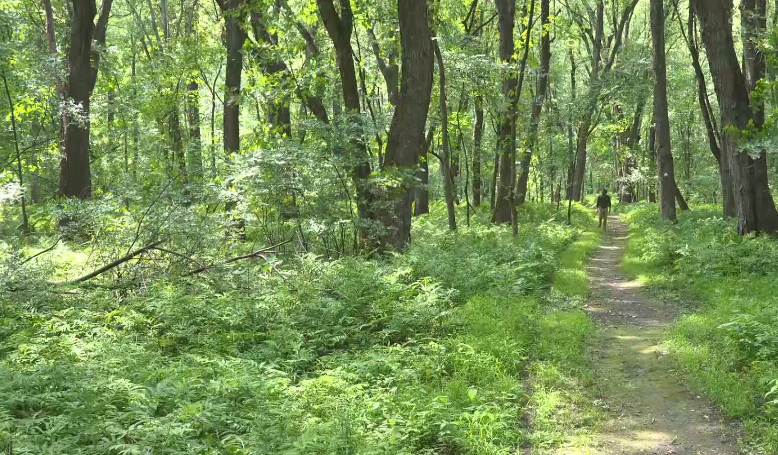
Эколог штата Вирмонт сообщил, что пойменный лес на реке Уинооски, выросший на месте бывших полей, играет ключевую роль в обеспечении устойчивости к наводнениям. Эксперт отметил, что уникальная почва этого участка, сформировавшаяся за последние десятилетия, способствует росту высоких деревьев и поддерживает богатую экосистему в самом крупном городе штата.
Перевод ИИ
Текст статьи доступен на языке оригинала.
Нажмите кнопку «Перевести статью» выше, чтобы сгенерировать перевод с помощью ИИ.
Оригинальный контент
Derway Island Trail reveals thriving floodplain forest in Vermont’s largest city
BURLINGTON, Vt. (WCAX) - Just steps from downtown Burlington, a floodplain forest has been quietly growing for the past 80 to 90 years along the banks of the Winooski River — and a state ecologist says it plays a critical role in both the natural world and flood resilience.
Robert Zaino, a natural community ecologist with the Vermont Department of Fish and Wildlife, walks the Derway Island Trail in Burlington’s North End, about 100 to 200 feet from the Winooski River, near the mouth where it flows into Lake Champlain.
“We’re in this forest. It feels like we’re way remote, but we’re actually right inside the city limits. We could bike right downtown,” Zaino said.
This forest wasn’t always like this — a rusty car is evidence that this was once an open field.
“Floodplains, because of that fertility in the soil, are great places for agriculture. And many of Vermont’s floodplains have been used for agriculture and continue to be used for agriculture. This one was used for agriculture as recently as the 1930s, maybe even the 1940s. Everything you’re seeing around me has grown up in that past 80 or 90 years or so,” Zaino said.
This floodplain earns its name due to the water from the nearby Winooski River flooding in the spring.
“Floodplains are so special because they’re the place where everything that’s coming down to the river, good and bad, gets dumped out onto land. And the good part of that is that the river is bringing a constant source of sediment, sand, silt and clay, down the river. Those sediments are bringing nutrients into this system. And when they flood — when that water floods up into the forest -- it’s bringing nutrients to the plants that are growing here, and that helps create the structure,” Zaino said. “Most places in Vermont you can’t get very deep, but here we are going to find it easy to get a lot of soil out of the ground.”
But about four feet down, Zaino says this is proof of what makes this area so unique. “This is what I was expecting — it’s just sand, sand, sand. And that’s typical of this spot where water first comes out of the river. The heaviest sediments will drop out first, and that’s the sand,” Zaino said.
And because of that soil, it’s a healthy floodplain forest, with silver maple and ostrich fern. “It gets its name because it looks like the feather of an ostrich if you were to look at the whole leaf. And ostrich fern is the one that people know as the fiddlehead fern,” Zaino said. And a high canopy above. “The trees, because of that richness in the soil, they grow tall.”
An example of a floodplain forest in the state’s biggest city. “They’re so important for the natural systems that they are, the plants and animals in them. And also for the resilience, the flood resilience that they bring to us, to our towns, to our roads, by absorbing that floodwater and slowing it down,” Zaino said.
Copyright 2026 WCAX. All rights reserved.
Аналитика ИИ и парсинга
Технические детали обнаружения, сопоставления и связывания статьи
Поисковый запрос
«Берлингтон остров Деруэй пойменный лес наводнения»
Запрос, сгенерированный ИИ для поиска статьи в веб-источниках
Связанные результаты поиска
В этой статье вы найдете полную информацию о знаниях из раздела Люди - Морские жители - Жители островов в MMORPG Black Desert Online.